Zaujímavé miesta - Lapin aluehallintovirasto
-
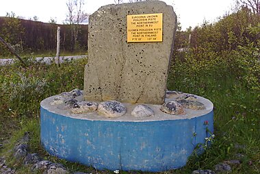
Northernmost point of Finland and the EU
This is a list of the extreme points of the European Union — the points that are farther north, south, east or west than any other location.
-
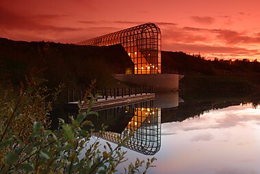
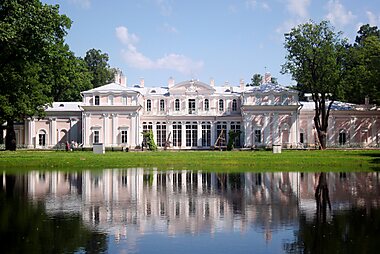
Arktikum - Museum and Arctic Science Centre
Arktikum is a museum and science centre in Rovaniemi, Finland. The building is also a popular culture destination and venue for meetings and…
-
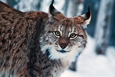
Ranua Zoo
Ranua Resort is a wildlife park and a holiday resort that opened in 1983 in the municipality of Ranua, Lapland, Finland.
-
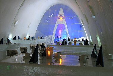
SnowCastle of Kemi
The SnowCastle of Kemi is the biggest snow fort in the world. It is rebuilt every winter with a different architecture in Kemi, Finland.
-
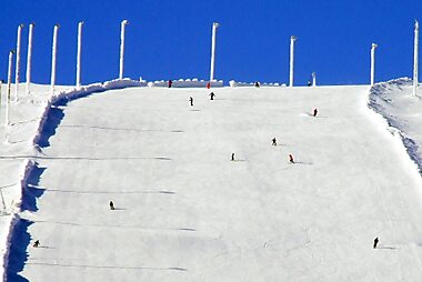
Saariselkä Ski Centre
This resort is popular for skiing - and also other sports! Regardless of whether you come in summer or winter, you'll definitely have a…
-
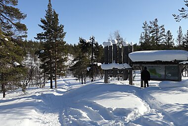
Struveho geodetický oblúk
Struveho geodetický oblúk je sústava triangulačných bodov, ktoré sa tiahnu v celkovej dĺžke 2 820 km od najsevernejšieho bodu v Hammerfeste…
-
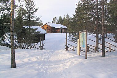
Sámi Museum Siida
Siida lit. 'the place' is a museum located on Lake Inari in the village of Inari in Inari, Finland.
-
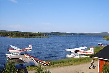
Inari
Inari je jazero vo fínskej časti Laponska v obci Inari. Leží severne od polárneho kruhu, približne 1 100 km severne od Helsinek.
-
Kilpisjärvi Visitor Centre
Kilpisjärvi is a village in the municipality of Enontekiö, Lapland, Finland.
-
-
Ylläs Ski Resort
Finland's largest ski resort. The respectable 34 pistes are guaranteed to make your holiday here fabulous.
-
-
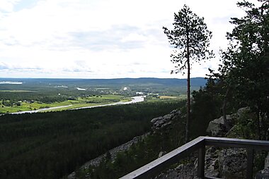
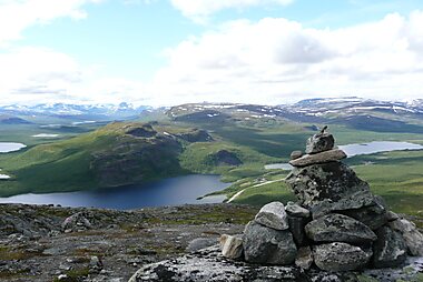
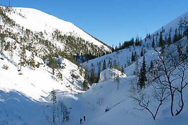
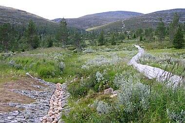
Urho Kekkonen National Park
Urho Kekkonen National Park is a national park in Lapland, Finland, situated in area of municipalities of Savukoski, Sodankylä and Inari.
-
Lemmenjoki National Park
Lemmenjoki National Park is situated in area of municipalities of Inari and Kittilä, Lapland, in Northern Finland.
-
Pyhä-Luosto National Park
Pyhä-Luosto National Park is a national park in Lapland, Finland. It was established in 2005 when Finland's oldest national park,…
-
Struveho geodetický oblúk
Struveho geodetický oblúk je sústava triangulačných bodov, ktoré sa tiahnu v celkovej dĺžke 2 820 km od najsevernejšieho bodu v Hammerfeste…
-
Struveho geodetický oblúk
Struveho geodetický oblúk je sústava triangulačných bodov, ktoré sa tiahnu v celkovej dĺžke 2 820 km od najsevernejšieho bodu v Hammerfeste…
-
Inari
Inari je jazero vo fínskej časti Laponska v obci Inari. Leží severne od polárneho kruhu, približne 1 100 km severne od Helsinek.
-
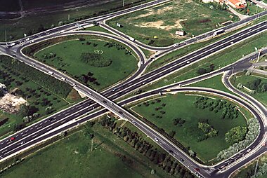
Európska cesta 75
Európska cesta 75 je európska cesta vedúca z mesta Vardø v Nórsku do mesta Sitia v Grécku. Jej celková dĺžka je 4 340 km.
-
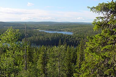
Pallas-Yllästunturi National Park
Pallas-Yllästunturi National Park is Finland's third largest national park and it covers an area of 1,020 square kilometres.
-
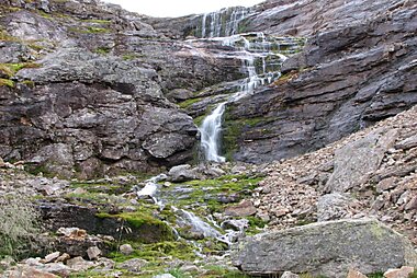
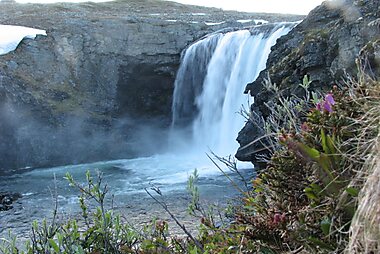
Pihtsusköngäs
Pihtsusköngäs, also known as the "Niagara of Finland" or the "King of Finnish waterfalls" is the largest waterfall in all of Finland.
-
Riisitunturi National Park
Riisitunturi National Park is a national park in Posio, Finnish Lapland. It was established in 1982 and covers 77 square kilometres.

Naplánuj si dokonalý výlet
Vytváraj itineráre deň po dni, objavuj top atrakcie a naviguj jednoducho — na akomkoľvek zariadení.
Alebo vyhľadaj Tripomatic v App Store alebo Google Play.