Washington-Rochambeau National Historic Trail
The Washington–Rochambeau Revolutionary Route is a 680-mile series of roads used in 1781 by the Continental Army under the command of… Read more…
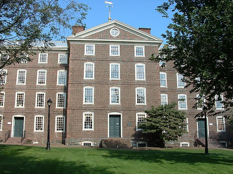

The Washington–Rochambeau Revolutionary Route is a 680-mile series of roads used in 1781 by the Continental Army under the command of George Washington and the Expédition Particulière under the command of Jean-Baptiste de Rochambeau during their 14-week march from Newport, Rhode Island, to Yorktown, Virginia.
French forces left Rhode Island in June 1781 and joined Washington's force on the Hudson River the following month. The combined American and French armies headed south in August, marching through New Jersey, Pennsylvania, Delaware, and Maryland, a route that allowed them to evade British troops. They reached Williamsburg, Virginia, in late September, several weeks after the French royal fleet had won the Battle of the Chesapeake, preventing the British from reinforcing or evacuating General Cornwallis's army. On September 22, they combined with troops commanded by the Marquis de Lafayette. A three-week siege of Yorktown led to Cornwallis's surrender on October 19, 1781.
Source: Wikipedia
More information and contact

Plan Your Perfect Trip
Create day-by-day itineraries, discover top attractions, and navigate with ease — on any device.
Or search for Tripomatic in the App Store or Google Play.