Paul da Serra
Paul da Serra in the municipal county of Ponta do Sol, Madeira, is the largest and most extensive plateau of Madeira, at about 24 km2, with… Read more…
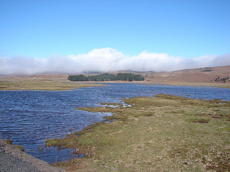

Paul da Serra in the municipal county of Ponta do Sol, Madeira, is the largest and most extensive plateau of Madeira, at about 24 km2, with an altitude averaging about 1,500 m. Its highest point is the peak pico do Paul at 1,640 m from where the length of the entire plateau can be viewed. On days with good visibility, both the south and north coasts are visible.Paul da Serra is considered the most important area of the islands groundwater recharge, and their planar structure facilitates the infiltration of a significant part of high rainfall year, while slowing the runoff towards the sea.
The ground cover in almost all the Paul da Serra is composed of underbrush, reminiscent of its former use as grazing site, stressing among other the Feiteira, highland bent,, broom, the gorse, St. John's wort or pelicão and Thymus micans, an endemic species of Madeira, confined to the central mountain massif.
Source: Wikipedia
More information and contact

Plan Your Perfect Trip
Create day-by-day itineraries, discover top attractions, and navigate with ease — on any device.
Or search for Tripomatic in the App Store or Google Play.