Hüggel
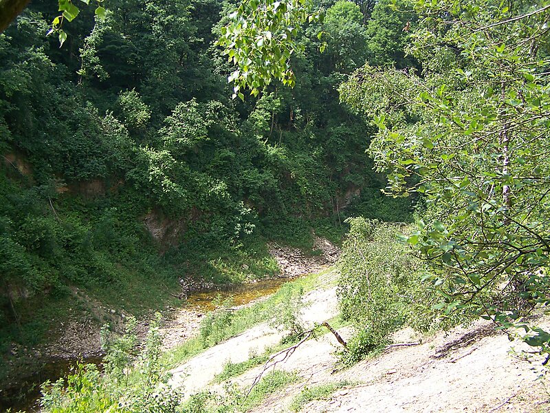
The Hüggel is a ridge, up to 225.6 m above sea level, about 5 kilometres long and 1 kilometre wide, near Hasbergen in the Lower Saxon… Read more…
Tags peak
Ramsch / Public domain

The Hüggel is a ridge, up to 225.6 m above sea level, about 5 kilometres long and 1 kilometre wide, near Hasbergen in the Lower Saxon district of Osnabrück in central Germany. It is the highest point of the Osnabrück Uplands. This Upper Carboniferous outcrop is part of the Ibbenbüren Coalfield.
Source: Wikipedia
More information and contact
Wikipedia en.wikipedia.org/wiki/H%C3%BCggel
Address Schau ins Land, 49205, Germany
Coordinates 52°13'12.947" N, 7°58'31.703" E

Plan Your Perfect Trip
Create day-by-day itineraries, discover top attractions, and navigate with ease — on any device.
Or search for Tripomatic in the App Store or Google Play.