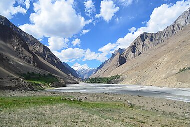
What to See in Gilgit-Baltistan
-
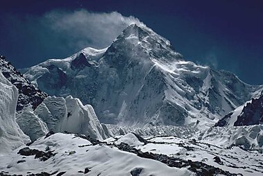
K2
K2, at 8,611 metres above sea level, is the second-highest mountain on Earth, after Mount Everest at 8,849 metres.
-
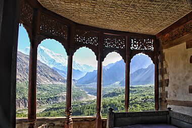
Baltit Fort
Baltit Fort is a fort in the Hunza valley, near the town of Karimabad, in the Gilgit-Baltistan region of northern Pakistan.
-
Nanga Parbat
Nanga Parbat, known locally as Diamer, is the ninth-highest mountain on Earth and its summit is at 8,126 m above sea level.
-
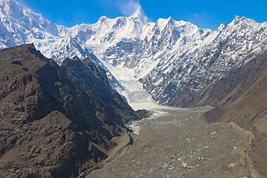
Gasherbrum
Gasherbrum is a remote group of peaks situated at the northeastern end of the Baltoro Glacier in the Karakoram mountain range.
-
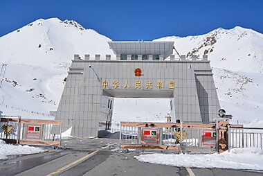
Khunjerab Pass
Khunjerab Pass is a 4,693-meter-high mountain pass in the Karakoram Mountains, in a strategic position on the northern border of Pakistan…
-
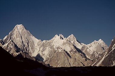
Masherbrum
Masherbrum is a mountain located in the Ghanche District in the Gilgit Baltistan region of Pakistan.
-
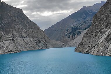
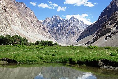
Attabad Lake
Attabad Lake is a lake located in the Gojal region of Hunza Valley in Gilgit−Baltistan, Pakistan.
-
-
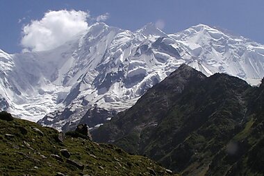
Rakaposhi
Rakaposhi also known as Dumani is a mountain within the Karakoram range in Gilgit-Baltistan in Pakistan.
-
Kilik Pass
The Kilik Pass to the west of Mintaka Pass is a high mountain pass in the Karakorum Mountains between Gilgit-Baltistan in Pakistan and…
-
Borith Lake
Borith Lake is a lake in the Hunza Valley in the Gilgit–Baltistan region of northern Pakistan.
-
-
Lupghar Sar
Lupghar Sar is 108th on the list of world tallest mountains. It is located in Shimshal valley of Hunza Gojal.
-
Diran
Diran is a mountain in the Karakoram range in Nagar Valley and Bagrot Valley Gilgit-Baltistan, Pakistan.

Plan Your Perfect Trip
Create day-by-day itineraries, discover top attractions, and navigate with ease — on any device.
Or search for Tripomatic in the App Store or Google Play.