Putzewitschi
The Struve Geodetic Arc is a chain of survey triangulations stretching from Hammerfest in Norway to the Black Sea, through ten countries… Read more…
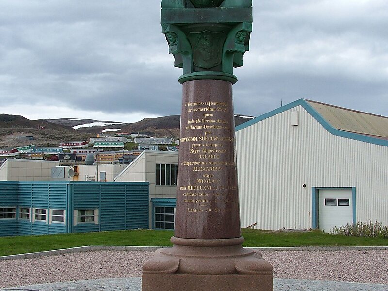

The Struve Geodetic Arc is a chain of survey triangulations stretching from Hammerfest in Norway to the Black Sea, through ten countries and over 2,820 km, which yielded the first accurate measurement of a meridian.The chain was established and used by the German-born Russian scientist Friedrich Georg Wilhelm von Struve in the years 1816 to 1855 to establish the exact size and shape of the earth. At that time, the chain passed merely through three countries: Norway, Sweden and the Russian Empire.
Source: Wikipedia
More information and contact

Plan Your Perfect Trip
Create day-by-day itineraries, discover top attractions, and navigate with ease — on any device.
Or search for Tripomatic in the App Store or Google Play.