Niña
Location Palos de la Frontera
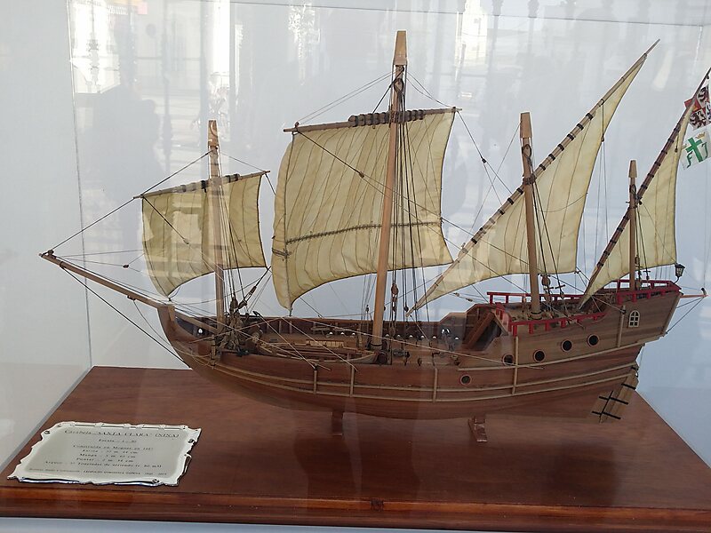
La Niña was one of the three Spanish ships used by Italian explorer Christopher Columbus in his first voyage to the West Indies in 1492.
Tags ship

More information and contact
Wikipedia en.wikipedia.org/wiki/Ni%C3%B1a
Address (Unnamed Road), 21810, Spain
Coordinates 37°12'40.425" N, 6°55'42.078" W

Plan Your Perfect Trip
Create day-by-day itineraries, discover top attractions, and navigate with ease — on any device.
Or search for Tripomatic in the App Store or Google Play.