Hohenberg
The Hohenberg is a 552 m above sea level high hill in the Palatinate Forest, in the municipalities of Birkweiler, Queichhambach and… Read more…
Tags peak
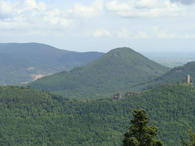

The Hohenberg is a 552 m above sea level high hill in the Palatinate Forest, in the municipalities of Birkweiler, Queichhambach and Siebeldingen. At its summit is an observation tower, a refuge hut and starting ramps for hang gliders.
Source: Wikipedia
More information and contact
Wikipedia en.wikipedia.org/wiki/Hohenberg_(Wasgau)
Address (Unnamed Road), 76831, Germany
Coordinates 49°12'9.78" N, 8°0'18.53" E

Plan Your Perfect Trip
Create day-by-day itineraries, discover top attractions, and navigate with ease — on any device.
Or search for Tripomatic in the App Store or Google Play.