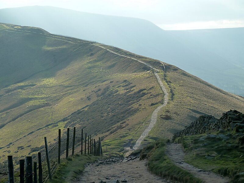
Hollins Cross
Hollins Cross lies between Mam Tor and Lose Hill on the Great Ridge that separates Castleton and Edale in Derbyshire, England.
Tags peak

More information and contact
Wikipedia en.wikipedia.org/wiki/Hollins_Cross
Address S33 7, United Kingdom
Coordinates 53°21'26.542" N, 1°47'50.248" W

Plan Your Perfect Trip
Create day-by-day itineraries, discover top attractions, and navigate with ease — on any device.
Or search for Tripomatic in the App Store or Google Play.