Cotswald Way
Location Bath and North East Somerset
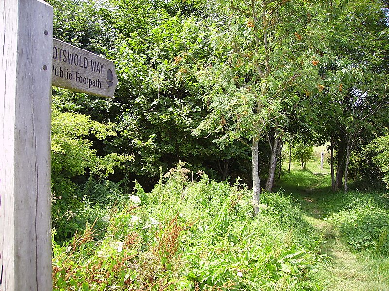
The Cotswold Way is a 102-mile long-distance footpath, running along the Cotswold Edge escarpment of the Cotswold Hills in England.
Tags trail·hiking & camping

More information and contact
Wikipedia en.wikipedia.org/wiki/Cotswold_Way
Official website www.nationaltrail.co.uk/cotswold-way/plan
Wikipedia en.wikipedia.org/wiki/Cotswold_Way
Address Weston Park West, Bath BA1 4AR, United Kingdom
Coordinates 51°23'41.089" N, 2°22'51.431" W

Plan Your Perfect Trip
Create day-by-day itineraries, discover top attractions, and navigate with ease — on any device.
Or search for Tripomatic in the App Store or Google Play.