Tung Lung Chau Prehistoric Stone Carving
Tung Lung Chau, previously known as Nam Tong Island or Nam Fat Tong is an island located off the tip of the Clear Water Bay Peninsula in… Read more…
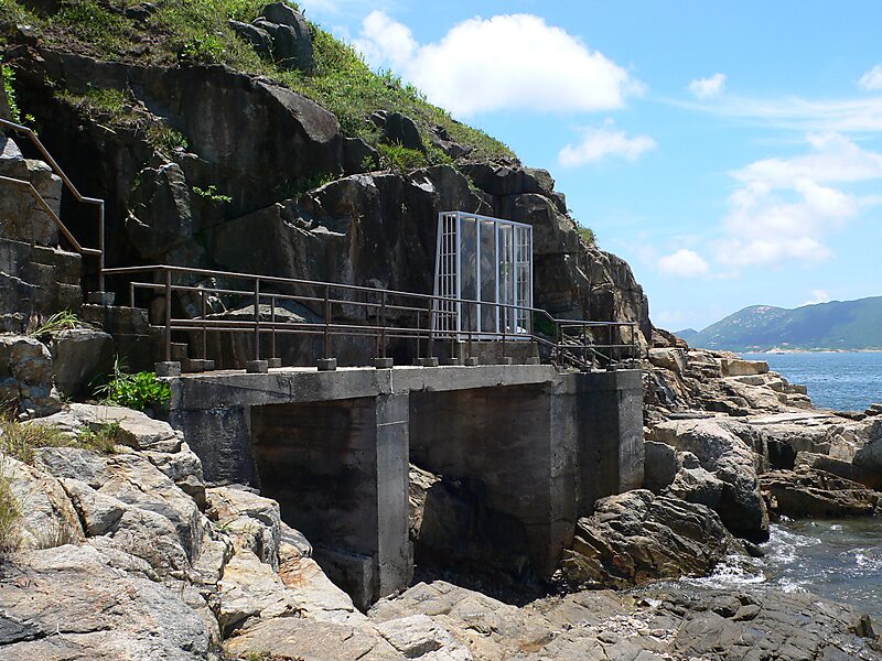

Tung Lung Chau, previously known as Nam Tong Island or Nam Fat Tong is an island located off the tip of the Clear Water Bay Peninsula in the New Territories of Hong Kong. It is also referred to by Hong Kong people as Tung Lung To or Tung Lung Island. The island is largely uninhabited. Administratively, it belongs to Sai Kung District.
Source: Wikipedia
More information and contact
Wikipedia en.wikipedia.org/wiki/Tung_Lung_Chau
Wikipedia en.wikipedia.org/wiki/Tung_Lung_Chau
Address Hong Kong SAR China
Coordinates 22°15'6.028" N, 114°17'4.002" E

Plan Your Perfect Trip
Create day-by-day itineraries, discover top attractions, and navigate with ease — on any device.
Or search for Tripomatic in the App Store or Google Play.