Vai Forest
Vai or more accurately Vaï, Greek for "palm," is a region of east Crete between Cape Sidero and Cape Plaka, just south of the site of… Read more…
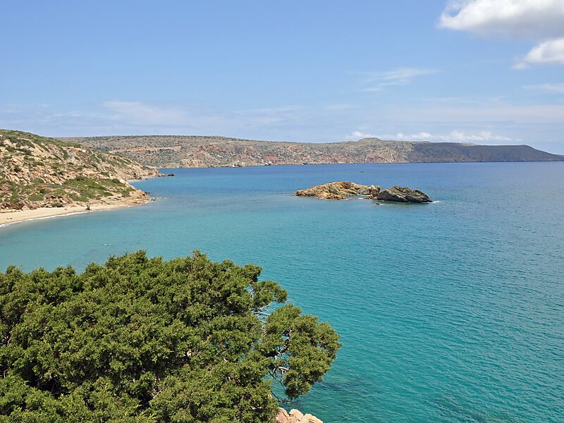

Vai or more accurately Vaï, Greek for "palm," is a region of east Crete between Cape Sidero and Cape Plaka, just south of the site of ancient Itanus but north of the villages that surround and are part of Palaikastro. Vai does not belong to them nor is it part of any civic unit of the local civic division of Greece. It is not itself an official village. The region is somewhat isolated on the isolated northeast peninsula, connecting only to Eparchos odos moni Toplou, the only road between Palaikastro and Toplou Monastery. The entire distance is essentially trackless and deserted, as the name of one of the beaches at Itanus suggests, Eremoupolis, "deserted city".
Vai is a protected area under the jurisdiction of the national government. It has been defined as different kinds of parkland by different governmental agencies.
Source: Wikipedia
More information and contact

Plan Your Perfect Trip
Create day-by-day itineraries, discover top attractions, and navigate with ease — on any device.
Or search for Tripomatic in the App Store or Google Play.