Mount Saint Peter
Mount Saint Peter, also referred to as Caestert Plateau, is the northern part of a plateau running north to south between the valleys of… Read more…
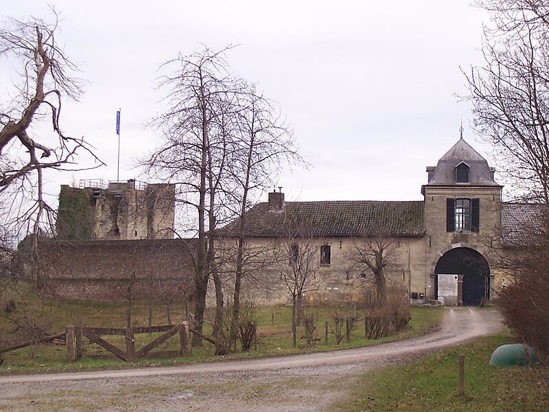

Mount Saint Peter, also referred to as Caestert Plateau, is the northern part of a plateau running north to south between the valleys of the river Geer to the west, and the Meuse to the east. The plateau runs from Maastricht in the Netherlands, through Riemst in Belgian Limburg almost to the city of Liège in Belgium, thus defining the topography of this border area between Flanders, Wallonia and the Netherlands. The name of the hill, as well as the nearby village and church of Sint Pieter and the fortress of Sint Pieter, refers to Saint Peter, one of the Twelve Apostles.
Source: Wikipedia
More information and contact

Plan Your Perfect Trip
Create day-by-day itineraries, discover top attractions, and navigate with ease — on any device.
Or search for Tripomatic in the App Store or Google Play.