Argisztihinili
Argištiḫinili was a town in the ancient kingdom of Urartu, established during the expansion of the Urartians in the Transcaucasus under… Read more…
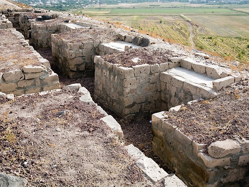

Argištiḫinili was a town in the ancient kingdom of Urartu, established during the expansion of the Urartians in the Transcaucasus under their king Argishti I, and named in his honour. It lasted between the 8th and 6th centuries BC. The ruins of the Argištiḫinili fortifications are 15 kilometres southwest of the present-day town of Armavir, Armenia, between the villages of Nor-Armavir and Armavir in the Armenian marz of Armavir. The town was founded on the left bank of the middle reaches of the Aras River. Over the centuries, the river channel has shifted to several kilometres south of the town.
Source: Wikipedia
More information and contact

Plan Your Perfect Trip
Create day-by-day itineraries, discover top attractions, and navigate with ease — on any device.
Or search for Tripomatic in the App Store or Google Play.